Laney Lee

Geologic Time Scale Graphic Organizer

$0.00

Categories: ,

Description

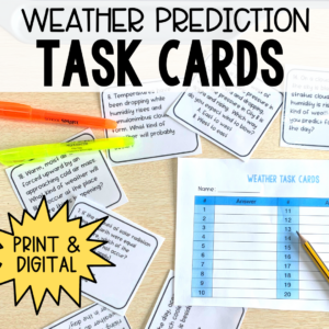
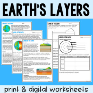
This simple geologic time scale graphic organizer showing the Earth’s history timeline is a great addition to any geology unit! All major eons, eras, periods, and epochs are included along with dates and a few major events.


This resource comes with 3 versions:

  • One with blanks left in it for students to fill out
  • One that is completely filled in to be printed and distributed as a reference document
  • A digital version


Print at 80% for a perfect fit in composition notebooks to add to interactive notebooks.


How Can I Use this Geologic Time Scale Graphic Organizer Resource?

  • Emergency Sub Plans
  • An independent work station in a set of stations
  • Differentiation – Assign this practice as reteaching for students who have yet to show mastery.
  • Homework
  • Creation of Independent Work Packet for students who are not able to be present for direct instruction.
  • Extension activity for early finishers or for students who show a special interest in the topic
  • Use as a square on a Choice Board
  • Interactive Notebooks: Print 2 pages in one and cut apart. Glue mini pages into notebooks with room for annotations on the side
  • Interactive Notebooks: Print entire PDF as a mini booklet and add to notebooks using thesesimple instructions.


What’s Included?

Purchase includes a printable PDF file in color with answer key. On page 2 of this resource you will find a link to a student friendly Google Drawing version of this file. You will be able to copy this file and use it with Google Classroom or any other paperless initiative.


Please take a look at the preview file to see more of this resource.

More questions?

Check out our Frequently Asked Questions or email me at laneyleeteaches@gmail.com

NGSS STANDARDS COVERED BY THIS GEOLOGIC TIME SCALE GRAPHIC ORGANIZER:

NGSSMS-ESS2-3
Analyze and interpret data on the distribution of fossils and rocks, continental shapes, and seafloor structures to provide evidence of the past plate motions. Examples of data include similarities of rock and fossil types on different continents, the shapes of the continents (including continental shelves), and the locations of ocean structures (such as ridges, fracture zones, and trenches). Paleomagnetic anomalies in oceanic and continental crust are not assessed.
NGSSMS-ESS2-2
Construct an explanation based on evidence for how geoscience processes have changed Earth’s surface at varying time and spatial scales. Emphasis is on how processes change Earth’s surface at time and spatial scales that can be large (such as slow plate motions or the uplift of large mountain ranges) or small (such as rapid landslides or microscopic geochemical reactions), and how many geoscience processes (such as earthquakes, volcanoes, and meteor impacts) usually behave gradually but are punctuated by catastrophic events. Examples of geoscience processes include surface weathering and deposition by the movements of water, ice, and wind. Emphasis is on geoscience processes that shape local geographic features, where appropriate.

Reviews

There are no reviews yet.

Be the first to review “Geologic Time Scale Graphic Organizer”

Your email address will not be published. Required fields are marked *

You may also like…