Ocean currents are masses of moving water. Scientists divide these currents into surface ocean currents and density currents. Read on to learn more about the differences in these two currents and what causes them.

Surface currents take place at the very top of the ocean. They only count for about 10% of all ocean currents. Surface currents are caused primarily by wind that blows over the ocean and pushes the water around.
Surface currents are more likely to be warm currents than density currents. That’s because warm water is less dense than cold water, so it rises to the surface where it can be affected by the wind.
Additionally, one famous ocean current is the Gulf Stream. This warm current originates in the Gulf of Mexico and travels up the Eastern Coast of the United States through the Atlantic Ocean. Since the Gulf Stream is made of warm water, it creates several weather conditions that are related to warm moist air. Hurricanes and thunderstorms are on the menu!
Surface currents may not count for a large portion of the ocean, but that doesn’t mean they’re not important. Sailors must keep a watchful eye on surface currents as they can seriously affect the safety of their ships!

Next, density currents are caused by convection currents deep in the ocean. Convection currents are created by the varying density of the ocean water. Warm water is less dense than cold water, so it rises to the surface of the ocean. Cold water, on the other hand, is more dense. It sinks to the ocean floor. The salinity, or saltiness, of the ocean also plays a key role in the creation of convection and density currents. Salty water is more dense than pure water, so the water at the bottom of the ocean is the saltiest and coldest. Conversely, the water at the top of the ocean is usually warmer and less salty.
Another important factor in driving density currents is the sun. The sun does not heat the entire Earth evenly. Areas near the equator receive more direct sunlight and are therefore warmer than areas near the north and south pole, which do not receive as much direct sunlight. Therefore, cold, salty water from the poles travels along the ocean floor until it is heated at the equator and can then rise to the surface in a process known as upwelling. Upwelling is an important factor in many marine ecosystems because cold water from the ocean floor is filled with nutrients. When it rises to the surface near the coast of an island or continent, it brings those nutrients with it and can nourish a thriving ecosystem.
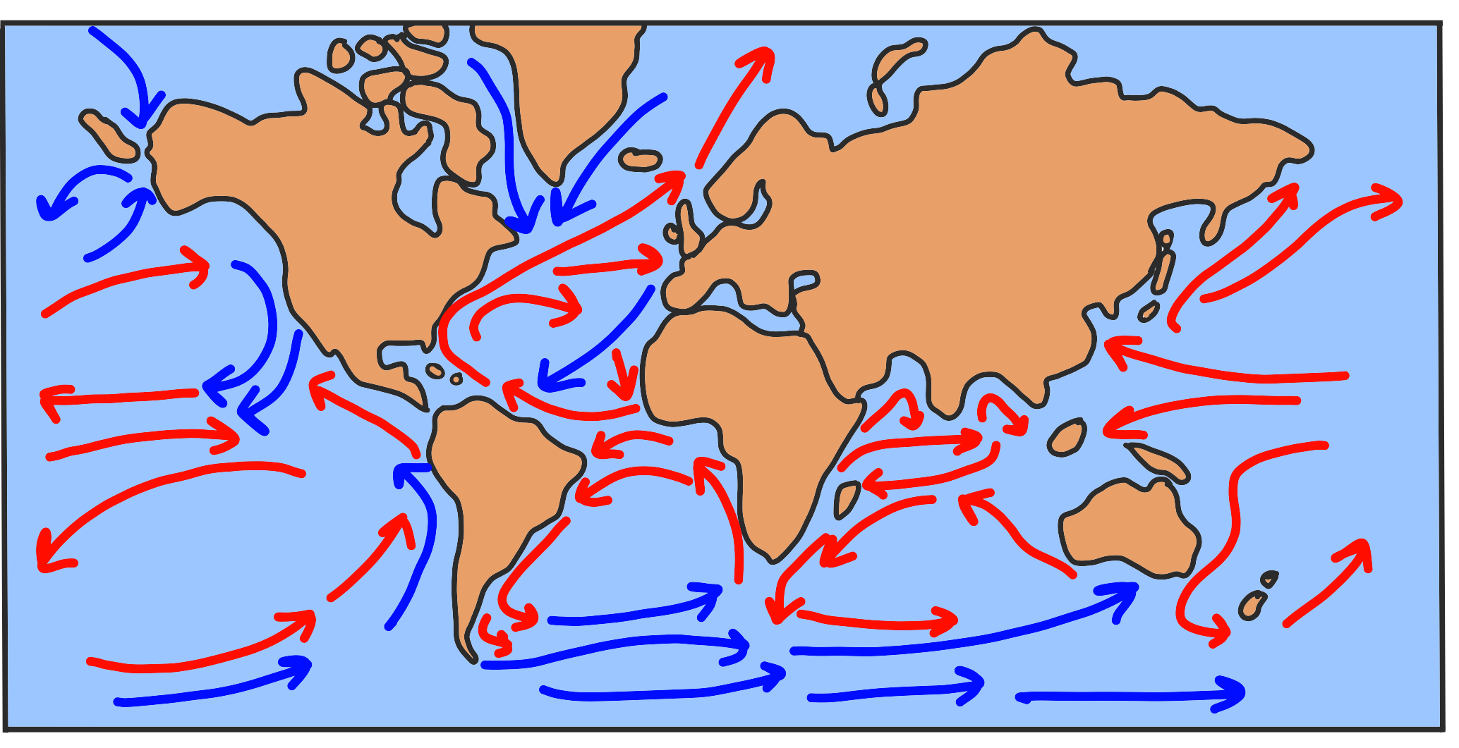
Take a look at the image below to see how water circulates throughout the world’s oceans. Notice that water moves not only from the equator to the poles, but also from the bottom of the ocean to the surface (and back again).


Technically, the water in the ocean should be moving directly north and directly south in a straight line as it moves towards or away from the equator. If you observe a map showing the world’s ocean currents, like the one at the top of this article, you will see that that’s not the case. Water moves in a more circular motion instead. Why?
The Coriolis effect is to blame. As water moves north or south, it is thrown off course by the motion of the Earth as it revolves! To understand this effect more clearly, imagine trying to walk in a straight line on a spinning disk. Even though you might feel like you’re walking straight towards your target, as the floor moves beneath you, your path will appear to be slightly curved. This is exactly what happens to the oceans as they travel as well. The water is attempting to flow in a straight line, but the Earth rotates beneath it, making it’s path appear slightly curved.
In the Northern Hemisphere, this curve is clockwise (spinning in the same direction as a clock’s hands). In the Southern Hemisphere, the curve spins counterclockwise (in the opposite direction as a clock). These giant swirls of water, created by the combination of ocean currents and the Coriolis effect, are known as gyres.
As a result of the circular motion of the global ocean currents, there are large areas of water in the center of these swirling currents which are relatively calm. Scientists have begun to notice that one of these “dead zones” in particular is beginning to accumulate trash which, due to the nature of the current, is unable to easily escape.
The Great Pacific Garbage Patch is a gyre in the Northern Pacific Ocean in which scientists estimate over 87,000 tons of trash may be trapped. The discovery of this swirling ball of garbage has been a major eye opener for scientists and environmentalists. It begs us to ask the question, “What are we doing to leave our planet better than we found it?”
If you’re a teacher, tutor, or parent who is looking for additional resources on ocean currents, check out some of the options below!
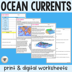
Ocean Currents Guided Reading
Introduce or review ocean currents with this handy guided reading. Two pages will introduce students to all the key concepts mentioned here. Two pages of comprehension questions will ensure that students are processing the material. This resource comes in both PDF and digital (Google Slides) formats for your convenience in any teaching environment.
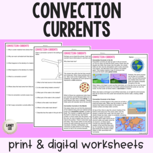
Convection Currents Guided Reading
A solid background understanding of convection currents is essential to student success in Earth science. This guided reading includes helpful diagrams and comprehension questions to finally make this topic “click” for your class! This resource comes in both PDF and digital (Google Slides) formats for your convenience in any teaching environment.
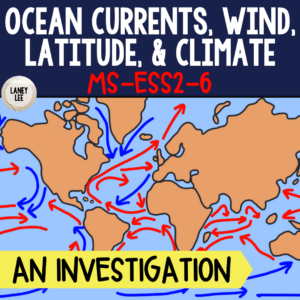
Climate Project
Put it all together with a fun climate project! Students will choose a coastal city and determine how it’s climate is affected by global and local winds, ocean currents, and latitude. This resource is NGSS aligned and comes in both PDF and digital (Google Slides) formats for your convenience in any teaching environment.
Purchase securely through my store or visit my TPT page.
MS-ESS2-5 Collect data to provide evidence for how the motions and complex interactions of air masses result in changes in weather conditions. Emphasis is on how air masses flow from regions of high pressure to low pressure, causing weather (defined by temperature, pressure, humidity, precipitation, and wind) at a fixed location to change over time, and how sudden changes in weather can result when different air masses collide. Emphasis is on how weather can be predicted within probabilistic ranges. Examples of data can be provided to students (such as weather maps, diagrams, and visualizations) or obtained through laboratory experiments (such as with condensation). Assessment does not include recalling the names of cloud types or weather symbols used on weather maps or the reported diagrams from weather stations.